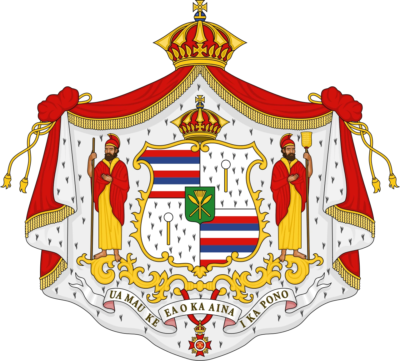
The Pacific Dependencies & Annexed Territories
Royal Registry under the House of Unauna
Historical Sovereignty Anchor
The maritime jurisdiction of the Hawaiian Kingdom extended far beyond the main archipelago through formal cessions, royal proclamations, and naval expeditions initiated under the sovereign authority of the Crown. These historical territories stand integrated into the permanent jurisdiction and boundaries of the Kingdom:
- •Nīhoa (Bird Island / Moku Manu): Formally annexed to the Kingdom under the sovereign authority of King Kamehameha IV. Its name translates directly to “tooth” or “jagged,” reflecting its dramatic volcanic appearance rising sharply out of the sea.
- ◦Physical Geography & Ecosystem: A massive, towering remnant of a volcanic cone covering 171 acres (0.69 sq km) of emergent basalt rock, culminating in Miller’s Peak at a dramatic elevation of 892 feet (272 m). It features six sloping interior valleys and sheer 900-foot vertical sea cliffs on its northern face. The island is enveloped by a vast 142,000-acre submerged coral reef ecosystem containing 17 species of stony corals.
- ◦Cultural & Ecological Assets: Holds over 80 documented ancient Hawaiian archaeological sites, including agricultural terraces and unique structural heiau (shrines). It serves as a biological stronghold for over 40 species found nowhere else on earth, including the endemic Nīhoa Finch (Telespiza cantans) and the Nīhoa Millerbird (Acrocephalus familiaris kingi), as well as the rare Loulu fan palm (Pritchardia remota).
- ◦
- •Kauō (Laysan Island) & Papaʻāpoho (Lisianski Island): Formally annexed to the Kingdom in May 1857 by Captain John Paty under the direct authority of the Hawaiian Crown. Traditionally named Kauō for its egg-like coastal layout and critical role as a massive nesting and avian egg-laying ground.
- ◦Physical Geography & Ecosystem (Kauō): Covers 1,016 acres of land mass, surrounded by an immediate 735-acre shallow-water fringing reef ecosystem (nested within a vast, deeper marine habitat spanning over 145,000 acres). Features a prominent 100-acre interior hypersaline lake, which remains one of only five natural lakes in the entire Hawaiian archipelago with a salinity level roughly triple that of the surrounding ocean.
- ◦Physical Geography & Ecosystem (Papaʻāpoho): Spans approximately 400 acres of low, flat coral and sand landmass. It is surrounded by the massive, hazardous Neva Shoals—a shallow coral reef garden covering nearly 235,000 acres (979 square kilometers). The island features a unique central depression and hosts over three-quarters of Hawaiʻi’s nesting Bonin petrels, alongside populations of Hawaiian monk seals and green sea turtles.
- ◦
- •Palmyra Atoll: Officially annexed in 1862 by commission of King Kamehameha IV, securing critical strategic and maritime authority in the central Pacific.
- ◦Physical Geography & Ecosystem: Consists of a complex of approximately 26 to 50 low-lying, heavily forested islets encircling three distinct central lagoons. It encompasses roughly 680 acres of emergent land and reef, structurally fortified by more than 15,000 acres of pristine coral reefs. Its warm equatorial marine habitat supports over 400 species of fish, dynamic shark populations, and giant clams.
- ◦
- •Mokupāpapa (Kure Atoll / Ocean Island): Extensively mapped and officially acquired by King Kalākaua in September 1886 to consolidate absolute kingdom control over the northern reefs. The traditional name Mokupāpapa translates to “flat island,” matching its low-lying coral formations.
- ◦Physical Geography & Ecosystem: Recognized as the northernmost coral atoll in the world. It features a nearly circular barrier reef approximately 6 miles in diameter that completely encloses a shallow lagoon. Its permanent land surface (primarily crescent-shaped Green Island) totals about 213 to 235 acres, while its expansive, robust spur-and-groove marine habitat boasts nearly 80,000 acres of protected coral reefs supporting breeding populations of Hawaiian monk seals and migratory seabirds.
- ◦
- •Mokumanamana (Necker Island): Formally incorporated into the kingdom’s limits under the Kalākaua dynasty. A sacred space celebrated for its exponential spiritual power and high concentration of ancient heiau (religious shrines) and basalt structures.
- ◦Physical Geography & Ecosystem: A small, hook-shaped volcanic ridge composed of steep basalt rock spanning roughly 45 to 46 acres, reaching a dramatic peak elevation of 277 feet with virtually no soil development. Despite its minuscule land footprint, it possesses the second-largest surrounding shallow marine habitat in the Northwestern Hawaiian Islands, with nearly 385,000 acres of shallow reefs, open bays, and vertical shelves.
- ◦
- •Sikaiana Atoll (Stewart Islands): Formally ceded and allied in 1856 under the reign of King Kamehameha IV, establishing this Polynesian outlier as an extended dependency under the protection of the Hawaiian Crown. (Not Ratified).
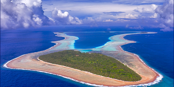
- ◦Physical Geography & Ecosystem: A highly isolated tropical coral atoll stretching roughly 14 kilometers (8.7 miles) in length. Its incredibly restricted land mass consists of just four small islets totaling a mere 500 acres (2 square kilometers) of dry land surface. The land mass forms the eastern corner of “Te Moana,” a broad, fully enclosed central lagoon completely locked by a solid wall of fringing reef with no natural navigable ship passages to the open ocean.
- ◦
Did you know that a tiny, remote atoll in the Solomon Islands once claimed to be part of Hawaii? While Sikaiana is a Polynesian outlier located thousands of miles away in the South Pacific, its residents launched a fascinating bid for U.S. citizenship in the late 1990s. They based their historic claim on the assertion that the atoll was formally ceded to King Kamehameha IV in 1856.
Ancestral Guardianship & Custody of the House of Unauna
The genealogical lineages, treaty records, and sovereign indices tracking the relationships between the Hawaiian Crown and its extended Pacific dependencies are preserved under the hereditary stewardship of the House of Unauna.
- •The Lineage of the Royal Genealogist: This directory is anchored directly by the foundational records and lineage books of High Chief Aarona Unauna (1795–1867), who served as the Royal Genealogist of the Hawaiian Kingdom.
- •Primary Source Authority: Formulated in strict alignment with the historic registers of the Board of Genealogy of Hawaiian Chiefs (1880–1887), tracking the senior Kapōhaialiʻī line of the royal ʻĪ Family.
- •Archival Mandate: This open directory serves as the immutable, timestamped public ledger ensuring the true boundaries, titles, and ancestral lines of the senior royal families remain completely transparent, protected, and unrevised for all generations.
Holding on to Home as the Sea Rises
A documentary story from the International Organization for Migration (IOM) on the people of Sikaiana Atoll and the rising seas that threaten their ancestral home in the Solomon Islands.
An IOM video — the story of the people of Sikaiana Atoll and the rising seas that threaten their ancestral home in the Solomon Islands.
Watch Sikaiana Video →Source: International Organization for Migration (IOM)